By Bob Walton
[from fall 2026 newsletter]
2026 marked the 60th anniversary of the USGS (U.S. Geological Survey) North American Breeding Bird Survey (BBS). Except for one year of missed data collection due to the COVID-19 pandemic, dedicated birders have collected data each summer since the survey began in 1966. The late George Crossley, a Dubuque Audubon member, began the survey route known officially as the Maquoketa BBS 36-017 Route in 1967.
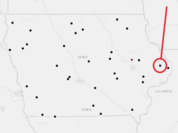
The actual survey route was established by the United States Government Survey Office at the Patuxent Wildlife Research Center in Laurel, Maryland. This route is 25 miles long and begins just SE of Maquoketa and ends NE of LaMotte, Iowa. It winds along gravel backroads and paved roads, through wooded and agricultural land. The survey begins exactly ½ hour before sunrise with viewing and listening stops each ½ mile. The 50 stops are marked on a survey map and are repeated at the exact same locations every year. At each location, the survey recorder exits the vehicle and conducts a stationary point count of all birds seen or heard within a ¼ mile radius during a 3-minute count period. Any birds located before or after the 3 minutes or while travelling between stops cannot be counted. Absolutely no method of calling or coaxing birds can be utilized. The use of the popular Cornell Lab of Ornithology’s Merlin Bird ID app cannot be used to detect and identify birds during the BBS. The BBS has a strict rule that only the assigned observer is permitted to detect and identify birds along the route. An assistant may only help by doing the timing and recording of vehicles passing during the 3 minutes. All observers are required to have the independent ability to identify all birds in the area by sound and sight.
In an “index survey,” such as the BBS, the purpose is to compare results over years to measure changes in bird populations. To accomplish this goal, strict adherence to survey protocols is essential as they control factors that make birds numbers go up or down artificially, like weather conditions, count duration, and time of day.
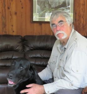
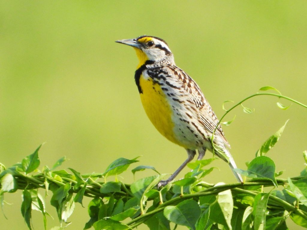
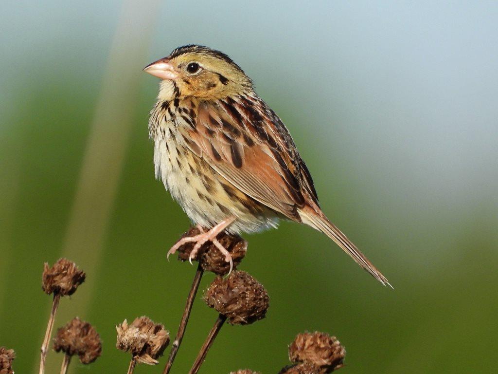
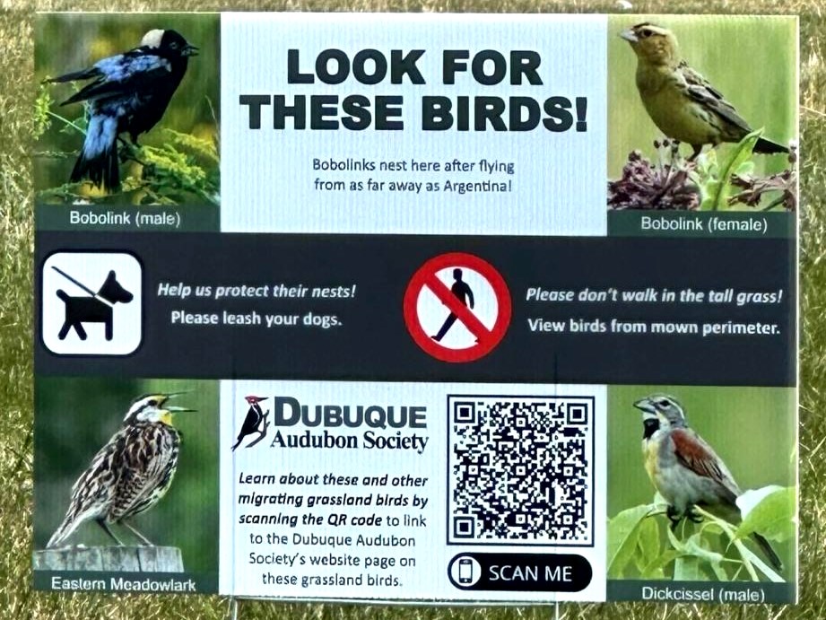
I have truly enjoyed the past 23 years of doing this route since I took over for George Crossley in 2003. In that time, I have witnessed large population declines in the number of grassland birds, particularly Bobolinks, Meadowlarks, and all the grassland sparrows. Most of these declines have been due to residential encroachment and major changes in agricultural practices. On the positive side, I now see more Bald Eagles, Wild Turkey, Mourning Doves, and adaptable birds like Red-winged Blackbirds, House Wrens, Dickcissels, House Wrens, and Killdeer. New additions to my very first birding lists include Carolina Wrens, House Finches, Eurasian Tree sparrows, and Eurasian Collared Doves.
Due to my “aging hearing,” 2026 was my last BBS Survey. I have enjoyed birding in rural Jackson County and am happy that a Dubuque Audubon Society member, Tony Moline, will continue the tradition of Dubuque Audubon Society conducting this survey route. Anyone interested in taking over other routes may contact the U.S. Geological Survey’s Eastern Ecological Science Center in Laurel, Maryland, for routes available in our area.